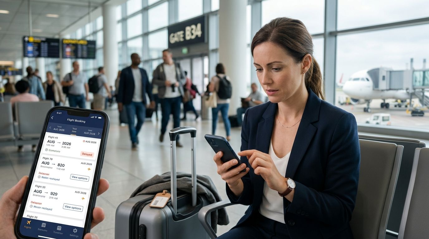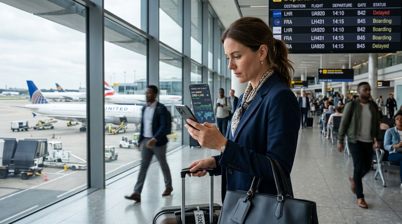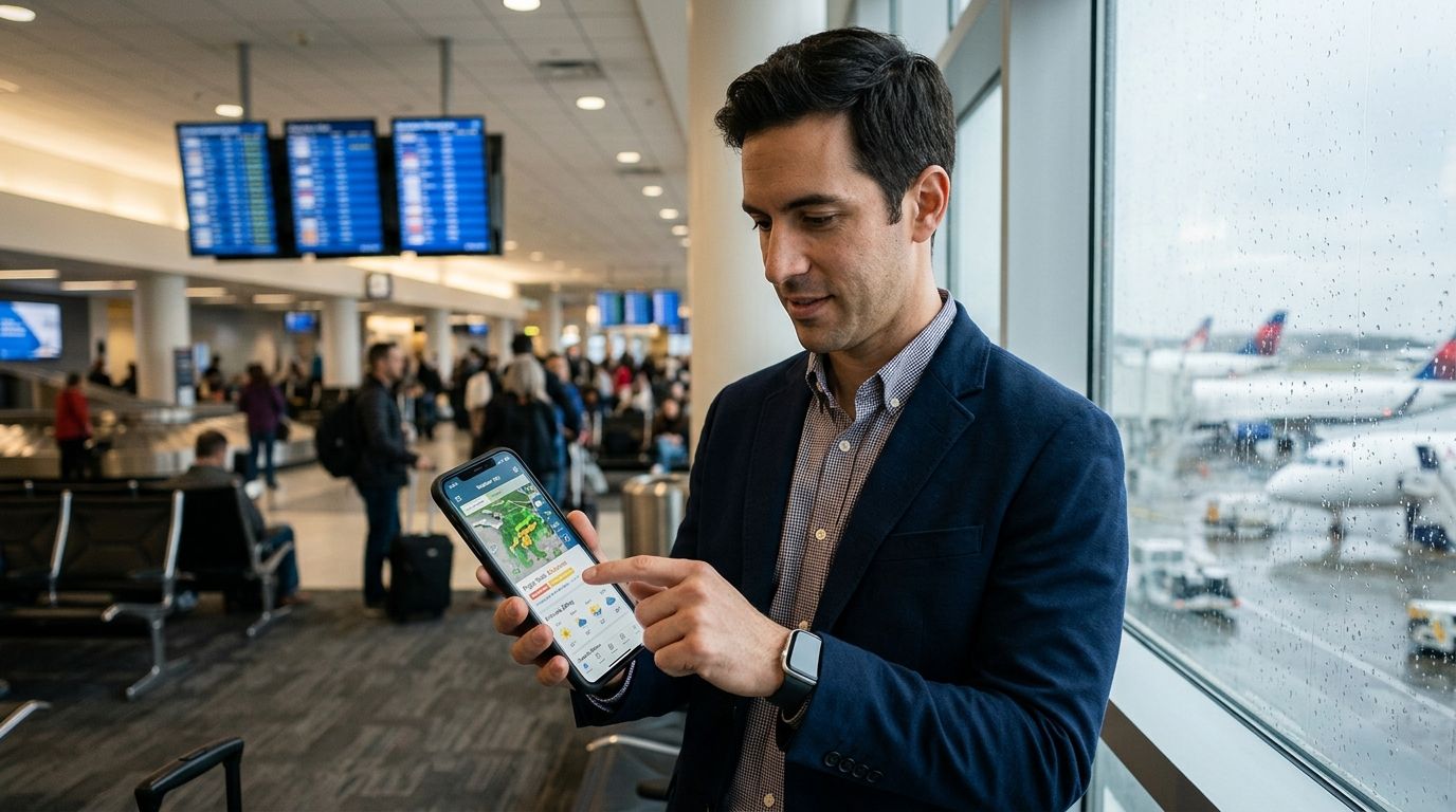
Weather causes more flight delays than any other single factor, but a rain radar app and a flight delay risk tool measure very different things. This guide ranks the best weather apps for flight delay risk in 2026, plus the AI tools built specifically to translate weather and airspace conditions into a delay probability you can act on.
Best overall: DelayGuard. Best for raw meteorological data: Aviation Weather Center. Best for visualizing storm systems before you book: Windy. Best budget radar app: MyRadar. Best for combining live tracking with airport weather: FlightAware. Best for severe storm cell tracking: RadarScope.
- DelayGuard scores flight-specific delay risk using route and airline history, not just current conditions — the closest thing to an answer, not just data.
- Aviation Weather Center is the federal source pilots and dispatchers pull METAR and TAF data from directly.
- Windy visualizes jet stream position and storm tracks days out, useful for booking decisions.
- MyRadar gives minute-by-minute precipitation tracking at your departure airport.
- None of the pure weather apps model cascade delays — the reason a clear-sky flight still gets delayed 90 minutes.
Why this matters
A clear radar screen at your departure airport doesn't mean your flight leaves on time. DelayGuard's data shows EWR delays 26% of flights, LGA 24%, and PHL 22% — not because of local weather, but because of shared, congested Northeast airspace that turns a storm cell over Atlanta into a three-hour ripple effect at Newark. Weather apps show you the sky. They don't show you the aircraft rotation, the crew legality, or the cascade.
That gap is why this list splits into two categories: apps that show conditions, and DelayGuard's flight delay prediction model, which converts conditions plus historical airline behavior into a risk score for your specific route.
What makes the best weather app for flight delay risk
- Update frequency — radar and satellite refreshed every 5 to 15 minutes, not hourly
- Airport-specific data — METAR (current conditions) and TAF (forecast) tied to the exact airport code, not the nearest city
- Route-level modeling — delay probability calculated for your specific flight, not general weather
- Historical pattern data — how this airline, this route, and this airport have actually performed
- Actionable alerts — a notification you can use before you leave for the airport, not after boarding closes
- National coverage — works across the airports you actually connect through, not just major hubs
At a glance
| App | Best for | Standout feature | Key limitation |
|---|---|---|---|
| DelayGuard | Flight-specific delay risk scoring | AI model covering 65+ US airports and major domestic airlines | Doesn't render live radar imagery |
| Aviation Weather Center | Raw METAR/TAF data | Official NOAA source used by pilots | Built for aviation professionals, not casual readers |
| Windy | Visualizing storm systems and jet streams | Multiple weather models layered on one map | Requires interpretation — no delay probability output |
| MyRadar | Real-time precipitation tracking | Fast, simple radar refresh near any airport | No airline or route-level delay context |
| FlightAware | Combining live tracking with weather overlays | Flight status plus airport weather in one view | Weather layer is supplementary, not predictive |
| RadarScope | Severe storm cell tracking | Built for meteorologists, high storm detail | Overkill for a typical traveler checking one flight |
1. DelayGuard: best weather app alternative for flight-specific delay risk
DelayGuard isn't a radar app — it's an AI model that scores your specific flight's delay risk using route history, airline scheduling patterns, hub congestion, and weather inputs together. Same route, same airline, three times the delay risk depending on departure hour — DelayGuard's own data shows flights before 8 AM average 11% delayed, while flights after 8 PM average 33%. That's a pattern no radar screen surfaces.
DelayGuard pros:
- Route and airline-specific risk score, not general conditions
- Covers 65+ US airports and major domestic airlines
- Explains the mechanism (cascade delays, hub geography) instead of just a percentage
DelayGuard cons:
- Not a substitute for live radar if you want to watch a storm move in real time
- Coverage is domestic US flights only
Verdict: Buy. If your goal is knowing your actual delay risk before you leave for the airport, this is the tool built for that job specifically — check it against DelayGuard's flight delay prediction apps compared breakdown for how it stacks up against similar tools.
2. Aviation Weather Center: best for raw METAR and TAF data
The Aviation Weather Center, run by NOAA, is where airline dispatchers and pilots pull current conditions (METAR) and forecasts (TAF) for any US airport. It's the source data behind most consumer weather apps, delivered without any consumer-friendly layer on top.
Aviation Weather Center pros:
- Official federal source, no third-party interpretation
- Covers every US airport with a weather station
- Free and publicly accessible
Aviation Weather Center cons:
- Aviation terminology (ceiling, visibility codes) isn't beginner-friendly
- No delay probability — just conditions
Verdict: Buy if you're comfortable reading raw aviation weather codes and want the primary source. Skip if you want a plain-language delay estimate.
3. Windy: best for visualizing storm systems before you book
Windy layers multiple weather models — GFS, ECMWF, ICON — onto one interactive map, showing wind speed, precipitation, and storm tracks days in advance. It's the strongest tool on this list for understanding where a system is headed before it reaches your departure city.
Windy pros:
- Multiple forecast models in one view
- Strong for multi-day storm tracking
- Detailed wind and pressure layers
Windy cons:
- No airport-specific delay context
- Model comparison requires some weather literacy to interpret correctly
Verdict: Hold. Useful for a big-picture look days before travel, but you'll still need something route-specific closer to departure.
4. MyRadar: best budget radar app for departure-airport tracking
MyRadar is a stripped-down radar app built for speed: open it, see precipitation near your airport, close it. It's the app most people already have installed for local weather, repurposed for travel days.
MyRadar pros:
- Fast load times, minimal interface
- Frequent radar refresh
- Works for any location, not just airports
MyRadar cons:
- No flight, airline, or route data layered in
- Precipitation on radar doesn't always mean a ground stop
Verdict: Buy as a companion app for a quick visual check, not as your primary delay signal.
5. FlightAware: best for combining live tracking with airport weather
FlightAware pairs real-time flight status with airport weather conditions on the same screen, so you can see your tail number's history and the sky above your departure airport without switching apps. It's widely used for tracking a specific flight once it's already scheduled.
FlightAware pros:
- Live gate, taxi, and airborne status
- Airport weather shown alongside flight status
- Historical on-time performance by route
FlightAround cons: (none — see below)
FlightAware cons:
- Weather layer is a supplement, not a forecast tool
- Predictive delay scoring is limited compared to a dedicated model
Verdict: Buy for day-of tracking; pair it with flight tracking and status apps if you want a broader comparison of this category.
6. RadarScope: best for severe storm cell tracking
RadarScope is built for meteorologists and storm chasers, offering high-resolution dual-polarization radar data that shows individual storm cells in detail most consumer apps smooth over. During summer thunderstorm season, that detail can show a cell forming over a hub airport before a ground stop is even announced.
RadarScope pros:
- Highest radar resolution on this list
- Shows individual storm cell structure, not just blanket coverage
- Useful during peak convective season (roughly May through September)
RadarScope cons:
- Steep learning curve for non-meteorologists
- More detail than most travelers need for a single flight check
Verdict: Wait. Powerful, but overkill unless you're already comfortable reading dual-pol radar data.
How we ranked
Each app was weighed against the six criteria above: update frequency, airport-specific data, route-level modeling, historical patterns, actionable alerts, and coverage. Pure weather apps score high on update frequency and coverage but zero on route-level modeling — that's the gap DelayGuard's flight delay risk scoring fills.
Check your flight's real delay risk
Route, airline, and time-of-day modeled together — not just today's radar.
Which weather app should you choose?
If you want one number that answers "will my flight actually be late," DelayGuard is the pick for 2026 — it's the only tool here that models your specific route and airline instead of just the sky above the runway. If you want to understand the storm system itself, pair it with Windy for the multi-day view or Aviation Weather Center for the raw data pilots use. For travelers who want to know exactly what time of day cuts their risk, DelayGuard's best times of day to fly to avoid delays breakdown builds directly on the 11%-vs-33% split above.
FAQ
What's the best weather app for flight delay risk in 2026?
DelayGuard is the best option for a flight-specific delay risk score because it models route history, airline behavior, and weather together rather than just showing current conditions. For raw meteorological data, Aviation Weather Center remains the standard.
Is DelayGuard better than a regular weather app for flight delays?
Yes, for predicting whether your specific flight will be delayed. A weather app tells you if it's raining; DelayGuard translates that plus airline and route history into a delay probability for your exact flight.
Does bad weather always mean a flight delay?
No. Delays often come from cascade effects at congested hubs rather than local weather — DelayGuard's data shows EWR delays 26% of flights largely due to shared Northeast airspace, not just storms.
How much notice do weather apps give before a flight delay?
Radar apps like MyRadar show conditions in real time but don't forecast delays directly. Route-level delay models can flag elevated risk before you even book, based on historical time-of-day and airline patterns.
What's the difference between METAR and TAF?
METAR is a current weather observation at an airport, updated roughly hourly. TAF is a forecast for that airport covering the next 24 to 30 hours. Both come from the Aviation Weather Center.
Can Windy or MyRadar predict my specific flight's delay risk?
No. Both show weather conditions and radar imagery but don't factor in airline scheduling, aircraft rotation, or route history, which are the biggest drivers of delay beyond weather itself.
Do airlines use the same weather data as passengers?
Airlines pull from the same NOAA sources like METAR and TAF, but combine it with internal data on crew legality, aircraft positioning, and gate availability that passenger apps don't have access to.
What time of day has the lowest flight delay risk?
Before 8 AM. DelayGuard's data shows morning departures average 11% delayed compared to 33% for flights after 8 PM, largely because delays compound through the day as aircraft rotate late.
One last thing
The single biggest lever most travelers ignore isn't a weather app at all — it's departure time. The gap between an 11% delay rate before 8 AM and a 33% rate after 8 PM is bigger than the difference between most airlines on the same route. Check the sky if you want, but check your departure hour first.